This copy is copyright protected.
Copyright © 2024 Geographicus Rare Antique Maps
1934 Traster Bird's Eye View Map of Washington D.C.
AirvueWashington-traster-1934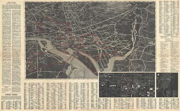

Copyright © 2024 Geographicus Rare Antique Maps | Geographicus Rare Antique Maps
This copy is copyright protected.
Copyright © 2024 Geographicus Rare Antique Maps