This item has been sold, but you can get on the Waitlist to be notified if another example becomes available, or purchase a digital scan.

1873 Beers Map of Babylon and Huntington, Long Island, New York

Babylon2-beers-1873
$150.00
Babylon Suffolk Co. / Half Way Hollow Hills, Part of Huntington. - Main View
Processing...

1873 Beers Map of Babylon and Huntington, Long Island, New York

Babylon2-beers-1873

Scarce map of Babylon, Long Island.

Title


Babylon Suffolk Co. / Half Way Hollow Hills, Part of Huntington.
  1873 (undated)     25 x 14.5 in (63.5 x 36.83 cm)     1 : 39600

Description


A scarce example of Fredrick W. Beers' map of the southern part of Huntington and Babylon, Long Island, New York. Published in 1873, this magnificent map covers from Amityville to Babylon Cove. Extend as far moth as Melville and Half Way Hollow Hills, in Huntington. Southern part of map includes Great South Bay, Cedar Island and Oak Island Beach. Offers stupendous inland detail to the level of individual buildings and the names of landholders. Notes the route of the South Side railroad and the Long Island Railroad. An inset depicts the town of Commack, Huntington. This is probably the finest atlas map of Babylon and Huntington to appear in the 19th century. Prepared by Beers, Comstock & Cline out of their office at 36 Vesey Street, New York City, for inclusion in the first published atlas of Long Island, the 1873 issue of Atlas of Long Island, New York.

Cartographer


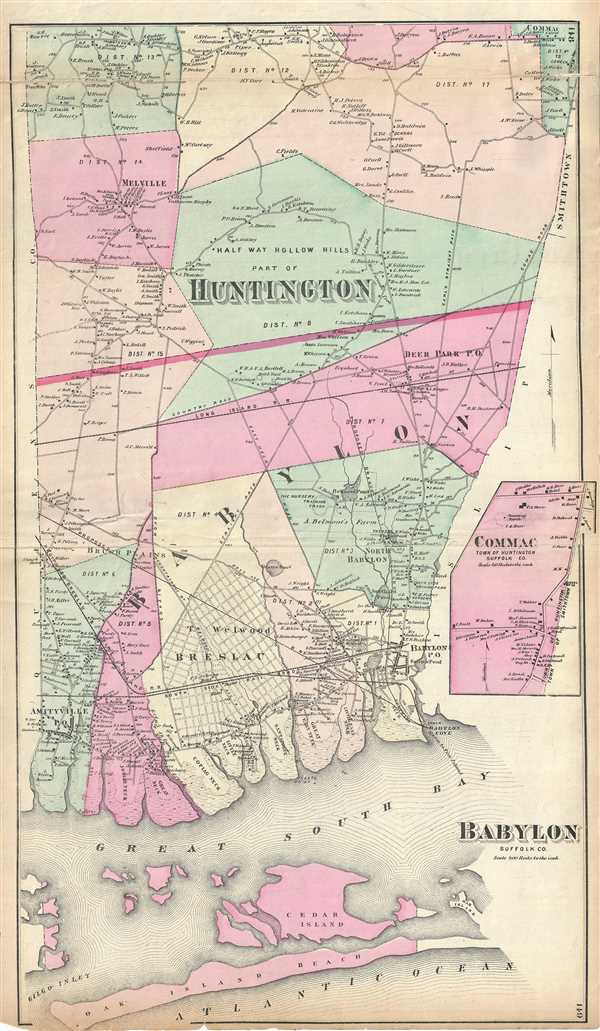
The Beers family (Fredrick, Silas, James and Daniel) (fl. c. 1850 - 1886), along with Charles and Augustus Warner, were prominent map publishers working from the 1850s to the late 1880s. Often publishing under the Warner & Beers designation, the combined firms produced a series of important state and county atlases and map of much of the northeastern United States. Many of their regional maps are among the most detailed and well laid out maps ever produced of their respective regions. Because Warner & Beers county maps were often detailed down to the individual homes and landowners, they have become highly sought after by general and family historians. In additional to producing maps of surpassing detail, Warner & Beers also maintained an earlier generation's attention to detail and quality while publishing in an era ever increasingly dominated by the low cost printing methods used by the publishing empires of Rand McNally and George Cram. More by this mapmaker...

Source


Atlas of Long Island, New York. From Recent Actual Surveys and Records Under the Superintendence of F. W. Beers. (1873 First Edition)    

Condition


Very good. Some wear and verso repair along original centerfold and fold lines. Minor spotting. Some edge wear and repair on verso.

References


New York Public Library, Map Division, 852069. Rumsey 0066.075.