This copy is copyright protected.
Copyright © 2024 Geographicus Rare Antique Maps
1945 Bell Map of Bermuda
BermudaIslands-bell-1945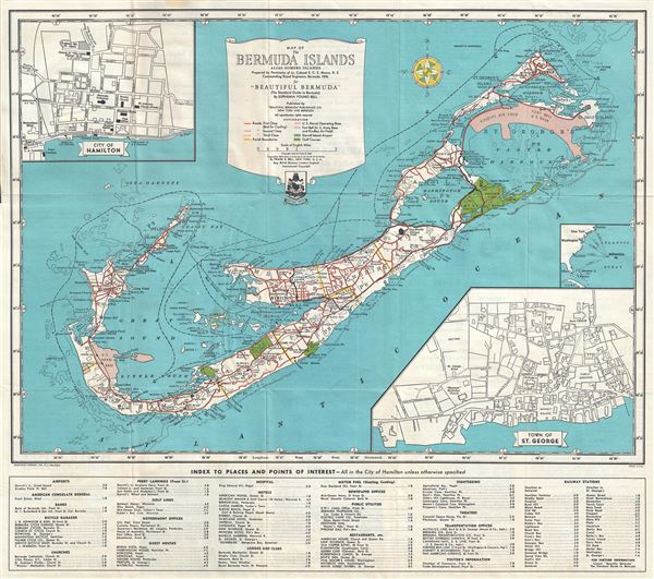

Copyright © 2024 Geographicus Rare Antique Maps | Geographicus Rare Antique Maps
This copy is copyright protected.
Copyright © 2024 Geographicus Rare Antique Maps