This copy is copyright protected.
Copyright © 2024 Geographicus Rare Antique Maps
1903 Rand Avery Map of Block Island, Rhode Island
BlockIsland-passdept-1903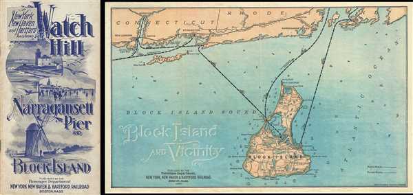

Copyright © 2024 Geographicus Rare Antique Maps | Geographicus Rare Antique Maps
This copy is copyright protected.
Copyright © 2024 Geographicus Rare Antique Maps