This copy is copyright protected.
Copyright © 2024 Geographicus Rare Antique Maps
1920 Union News Company View Map of Boston Harbor and Cape Cod, Massachusetts
BostonHarbor2-unionnews-1920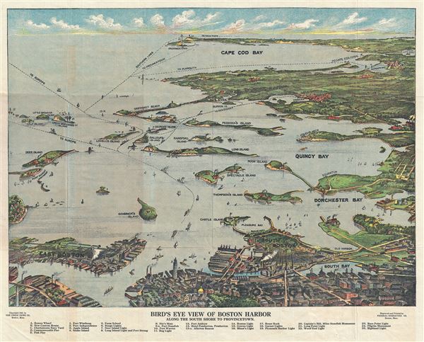

Copyright © 2024 Geographicus Rare Antique Maps | Geographicus Rare Antique Maps
This copy is copyright protected.
Copyright © 2024 Geographicus Rare Antique Maps