This copy is copyright protected.
Copyright © 2024 Geographicus Rare Antique Maps
1937 National Geographic Map of the British Isles
BritishIsles-natgeo-1937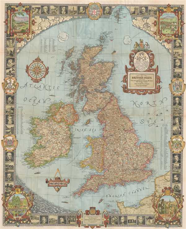

Copyright © 2024 Geographicus Rare Antique Maps | Geographicus Rare Antique Maps
This copy is copyright protected.
Copyright © 2024 Geographicus Rare Antique Maps