This copy is copyright protected.
Copyright © 2024 Geographicus Rare Antique Maps
1848 S.D.U.K. Map of British North America or Canada
Canada-sduk-1848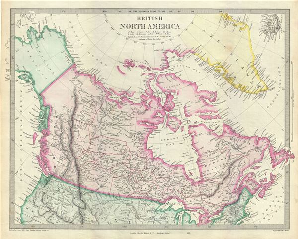

The "Society for the Diffusion of Useful Knowledge" (1826 - 1848) was a Whiggish organization founded in 1828 at the instigation of idealistic British lord Henry Peter Brougham. The admirable goal of the Society was to distribute useful information via a series of publications to the English working and middle classes. It promoted self-education and the egalitarian sharing of all knowledge. While closely tied to the London University and publishing houses on the order of Baldwin and Cradock, Chapman and Hall, and Charles Knight, the Society failed to achieve its many lofty goals in finally closed its doors in 1848. Most likely the failure of the Society resulted from its publications being too expensive for its intended lower to middle class markets and yet not large and fine enough to appeal to the aristocratic market. Nonetheless, it did manage to publish several extraordinary atlases of impressive detail and sophistication. Their most prominent atlas consisted of some 200 separately issued maps initially published by Baldwin and Cradock and sold by subscription from 1829 to 1844. Afterwards, the Society combined the maps into a single world atlas published under the Chapman and Hall imprint. In its day, this atlas was unprecedented in its quality, scope, and cost effectiveness. Today Society, or S.D.U.K. as it is commonly known, maps are among the most impressive examples of mid-19th century English mass market cartographic publishing available. The S.D.U.K. is especially known for its beautiful and accurately detailed city plans. More by this mapmaker...
Charles Knight (March 15, 1791 - March 9, 1873) was an English map publisher, author, and editor. Knight was born to a known publishing family. His father, a bookseller of Windsor took him as an apprentice. On fulfilling his indenture, Knight proceed to publish several small newspapers, including The Etonian and Knight's Quarterly Magazine. In 1828 Knight has contracted to become the superintendent of the newly formed Society for the Diffusion of Useful Knowledge, or S.K.U.K. for short. Knight's personal values matched those of the S.D.U.K., whose stated purpose was the democratization of knowledge. Most of Knight's cartographic publications were in association with the S.K.U.K., which financed a detailed and comprehensive world atlas. Despite Knights able management, the goals of the S.D.U.K. we're not fiscally supported by the sale of its publication and the organization folded in 1848. Knight however, continued his publishing career as well has his career as an author, producing such works as The Results of Machinery (1831) and Knowledge is Power (1855). He also composed his own autobiography, published in two volumes from 1864 to 1865, entitled Working Life during Half a Century. Knight died in Addlestone, Surrey, in 1873, at a respectable 81 years. Learn More...
Copyright © 2024 Geographicus Rare Antique Maps | Geographicus Rare Antique Maps
This copy is copyright protected.
Copyright © 2024 Geographicus Rare Antique Maps