This copy is copyright protected.
Copyright © 2024 Geographicus Rare Antique Maps
1920s Information Bureau Map of Canton or Guangzhou, China
Canton-infobureau-1920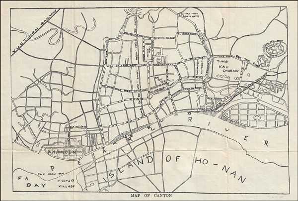

Copyright © 2024 Geographicus Rare Antique Maps | Geographicus Rare Antique Maps
This copy is copyright protected.
Copyright © 2024 Geographicus Rare Antique Maps