This copy is copyright protected.
Copyright © 2024 Geographicus Rare Antique Maps
1935 National Lithograph Company Map or Plan of Detroit, Michigan
Detroit-natlitho-1935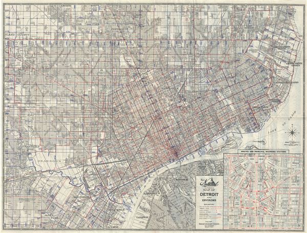

Copyright © 2024 Geographicus Rare Antique Maps | Geographicus Rare Antique Maps
This copy is copyright protected.
Copyright © 2024 Geographicus Rare Antique Maps