This copy is copyright protected.
Copyright © 2024 Geographicus Rare Antique Maps

Details
1903 Scarborough Company Map of Eastern United States w/Cuba
$400.00
1903 Scarborough Company Map of Eastern United States w/Cuba
EasternUnitedStates-scarborough-1903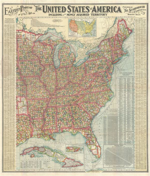

Copyright © 2024 Geographicus Rare Antique Maps | Geographicus Rare Antique Maps
This copy is copyright protected.
Copyright © 2024 Geographicus Rare Antique Maps