This copy is copyright protected.
Copyright © 2024 Geographicus Rare Antique Maps
1825 Whittaker Map of England and Wales
EnglandWales-whittaker-1825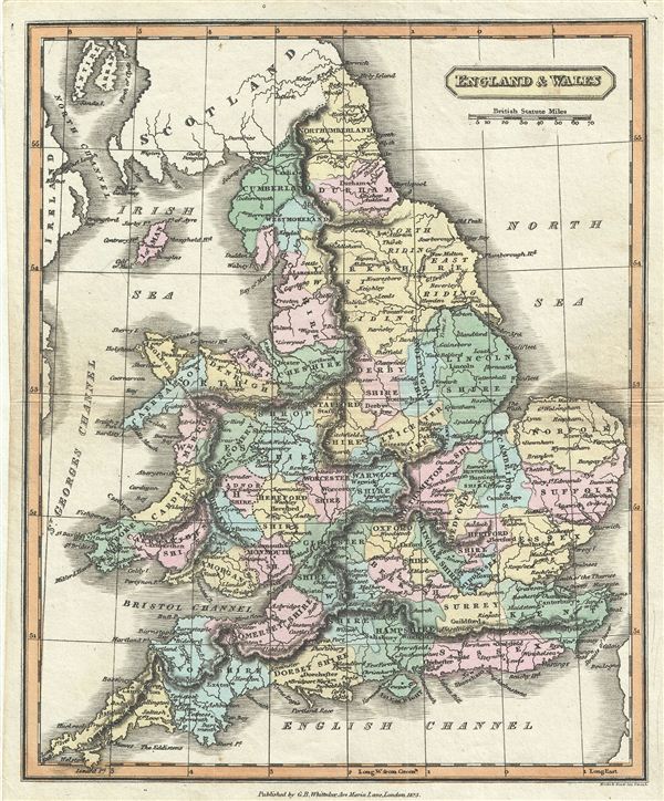

Copyright © 2024 Geographicus Rare Antique Maps | Geographicus Rare Antique Maps
This copy is copyright protected.
Copyright © 2024 Geographicus Rare Antique Maps