This copy is copyright protected.
Copyright © 2024 Geographicus Rare Antique Maps
1905 Sears Geological Map of Essex County, Massachusetts
EssexCounty-sears-1905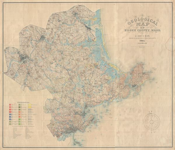

Copyright © 2024 Geographicus Rare Antique Maps | Geographicus Rare Antique Maps
This copy is copyright protected.
Copyright © 2024 Geographicus Rare Antique Maps