This copy is copyright protected.
Copyright © 2024 Geographicus Rare Antique Maps
1786 Jean-Baptiste Map of Luxemburg, Belgium, France and Germany
FranceLuxemburg-jeanbaptiste-1786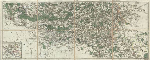

Copyright © 2024 Geographicus Rare Antique Maps | Geographicus Rare Antique Maps
This copy is copyright protected.
Copyright © 2024 Geographicus Rare Antique Maps