This copy is copyright protected.
Copyright © 2024 Geographicus Rare Antique Maps
1835 Manuscript Map of the Gambier or Mangareva Islands in French Polynesia
GambierGroup-manuscript-1835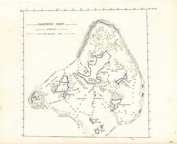

Copyright © 2024 Geographicus Rare Antique Maps | Geographicus Rare Antique Maps
This copy is copyright protected.
Copyright © 2024 Geographicus Rare Antique Maps