This copy is copyright protected.
Copyright © 2024 Geographicus Rare Antique Maps
1910 Humitsch Map or Plan of New York City and Vicinity, New York
GreaterNewYork-humitsch-1910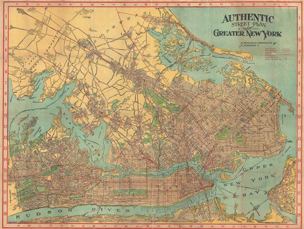

Copyright © 2024 Geographicus Rare Antique Maps | Geographicus Rare Antique Maps
This copy is copyright protected.
Copyright © 2024 Geographicus Rare Antique Maps