This copy is copyright protected.
Copyright © 2024 Geographicus Rare Antique Maps
1908 Bemis and Lowman Map or City Plan of Seattle, Washington
GreaterSeattle-vonbabo-1908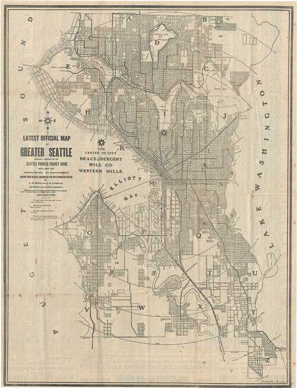

Copyright © 2024 Geographicus Rare Antique Maps | Geographicus Rare Antique Maps
This copy is copyright protected.
Copyright © 2024 Geographicus Rare Antique Maps