This copy is copyright protected.
Copyright © 2024 Geographicus Rare Antique Maps
1950 Mirabal Panoramic Map of Havana, Cuba
Havana-mirabal-1950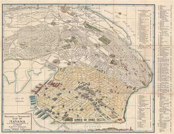

Copyright © 2024 Geographicus Rare Antique Maps | Geographicus Rare Antique Maps
This copy is copyright protected.
Copyright © 2024 Geographicus Rare Antique Maps