This copy is copyright protected.
Copyright © 2024 Geographicus Rare Antique Maps

Details
1933 Cook City Plan or Map of Victoria, Central, Hong Kong
1933 (undated) $200.00
1924 Imperial Japanese Railway Map or Plan of Hong Kong
HongKong-japgovtrail-1924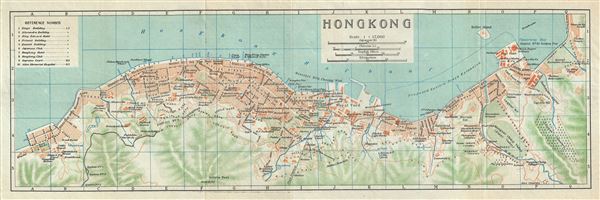

Copyright © 2024 Geographicus Rare Antique Maps | Geographicus Rare Antique Maps
This copy is copyright protected.
Copyright © 2024 Geographicus Rare Antique Maps