This copy is copyright protected.
Copyright © 2024 Geographicus Rare Antique Maps
1954 U.S. Army Air Forces Aeronautical Map of Lakshadweep Islands, India
KavarattiIsland-usaaf-1954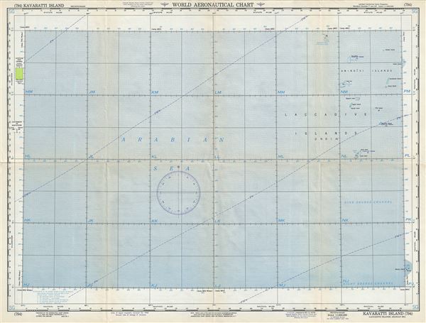

Copyright © 2024 Geographicus Rare Antique Maps | Geographicus Rare Antique Maps
This copy is copyright protected.
Copyright © 2024 Geographicus Rare Antique Maps