This copy is copyright protected.
Copyright © 2024 Geographicus Rare Antique Maps
1957 U.S. Air Force Aeronautical Chart or Map of the Andaman Islands, India
LittleAndamanIsland-usaf-1957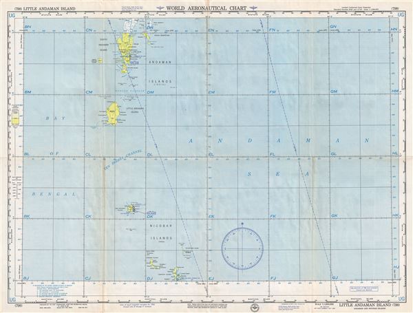

Copyright © 2024 Geographicus Rare Antique Maps | Geographicus Rare Antique Maps
This copy is copyright protected.
Copyright © 2024 Geographicus Rare Antique Maps