This copy is copyright protected.
Copyright © 2024 Geographicus Rare Antique Maps
1900 Portland Railroad Panoramic View Map of Maine
MaineTrolley-portlandrailroad-1900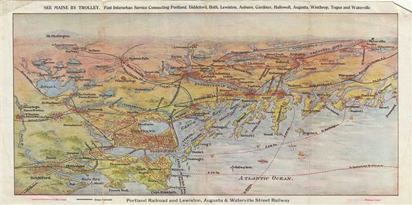

Copyright © 2024 Geographicus Rare Antique Maps | Geographicus Rare Antique Maps
This copy is copyright protected.
Copyright © 2024 Geographicus Rare Antique Maps