This copy is copyright protected.
Copyright © 2024 Geographicus Rare Antique Maps
1946 American News Company Map or Plan of the Boroughs of Manhattan and the Bronx, New York City
ManhattanBronx-amnews-1946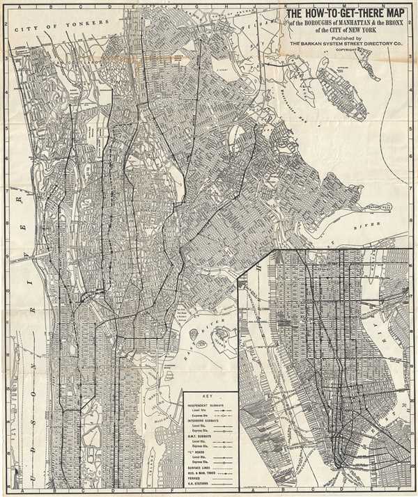

Copyright © 2024 Geographicus Rare Antique Maps | Geographicus Rare Antique Maps
This copy is copyright protected.
Copyright © 2024 Geographicus Rare Antique Maps