This copy is copyright protected.
Copyright © 2024 Geographicus Rare Antique Maps
1939 Furse Map or Plan of the City of Montreal, Quebec, Canada
Montreal-furse-1939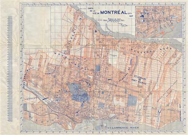

Copyright © 2024 Geographicus Rare Antique Maps | Geographicus Rare Antique Maps
This copy is copyright protected.
Copyright © 2024 Geographicus Rare Antique Maps