This copy is copyright protected.
Copyright © 2024 Geographicus Rare Antique Maps

Details
1950 George Mathis Pictorial Tourist Map of Nevada City, California
1950 (undated) $225.00
1940s Pictorial Map of Nevada City, California
NevadaCity-anonymous-1940s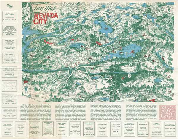

Copyright © 2024 Geographicus Rare Antique Maps | Geographicus Rare Antique Maps
This copy is copyright protected.
Copyright © 2024 Geographicus Rare Antique Maps