This copy is copyright protected.
Copyright © 2024 Geographicus Rare Antique Maps
1942 or Showa 17 World War II era Japanese Aviation Map of Southern New Zealand
NewZealandSouth-showa17-1942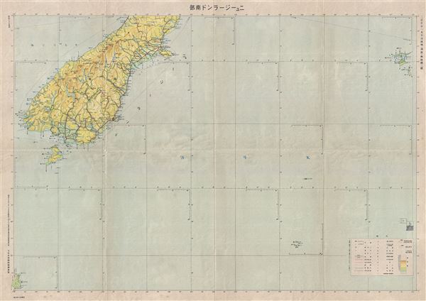

Copyright © 2024 Geographicus Rare Antique Maps | Geographicus Rare Antique Maps
This copy is copyright protected.
Copyright © 2024 Geographicus Rare Antique Maps