This copy is copyright protected.
Copyright © 2024 Geographicus Rare Antique Maps
1929 Capon Pictorial Map of Boston, Massachusetts
OldBoston-capon-1929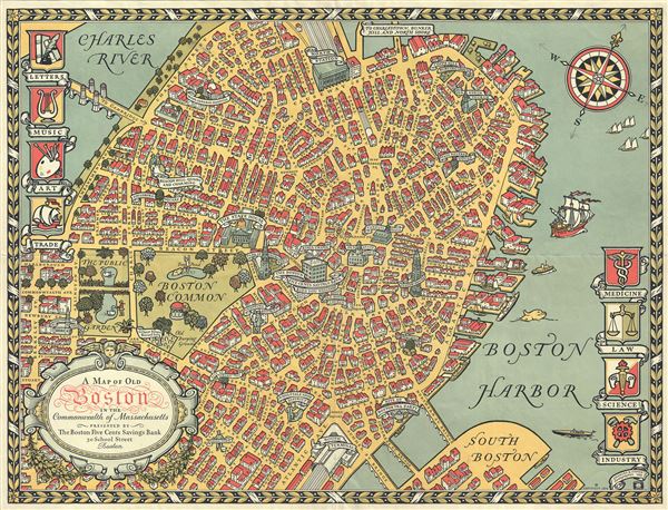

Copyright © 2024 Geographicus Rare Antique Maps | Geographicus Rare Antique Maps
This copy is copyright protected.
Copyright © 2024 Geographicus Rare Antique Maps