This copy is copyright protected.
Copyright © 2024 Geographicus Rare Antique Maps

Details
1925 Routledge View Map of the Columbia River Highway, Oregon
1925 (dated) $750.00
1950 Byington Printing Co. Street Map of Portland, Oregon
Portland-byington-1950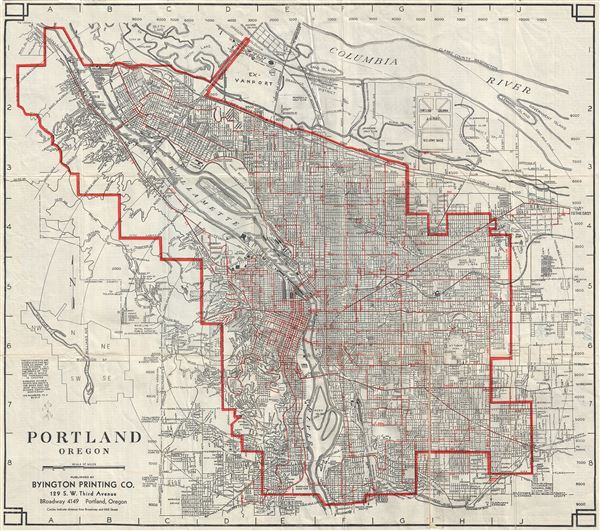

Copyright © 2024 Geographicus Rare Antique Maps | Geographicus Rare Antique Maps
This copy is copyright protected.
Copyright © 2024 Geographicus Rare Antique Maps