This copy is copyright protected.
Copyright © 2024 Geographicus Rare Antique Maps
1925 Interstate Map Company Map of Queens, New York
QueensNewYorkCity-interstatemap-1925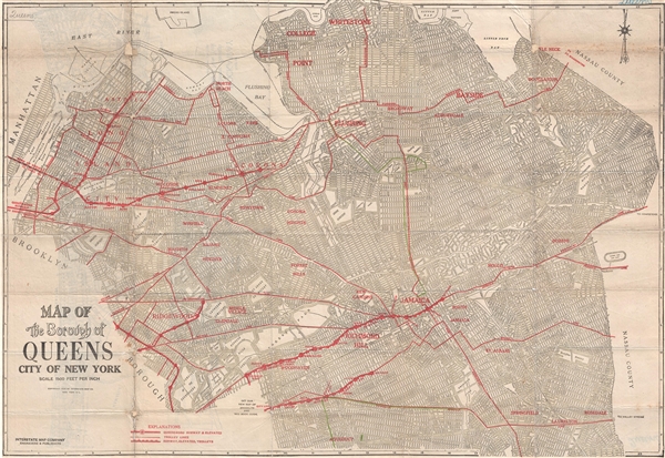

Copyright © 2024 Geographicus Rare Antique Maps | Geographicus Rare Antique Maps
This copy is copyright protected.
Copyright © 2024 Geographicus Rare Antique Maps