This copy is copyright protected.
Copyright © 2024 Geographicus Rare Antique Maps
1890 Relief Map of South Carolina
ReliefSouthCarolina-anonymous-1890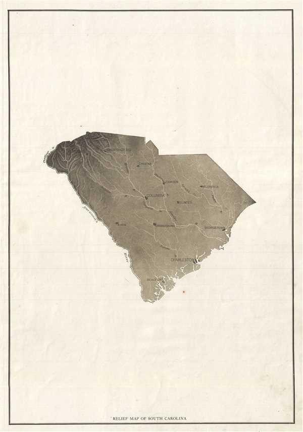

Copyright © 2024 Geographicus Rare Antique Maps | Geographicus Rare Antique Maps
This copy is copyright protected.
Copyright © 2024 Geographicus Rare Antique Maps