This copy is copyright protected.
Copyright © 2024 Geographicus Rare Antique Maps
1890 Blumlein Panoramic Map the Rhine River, Germany (Mainz to Cologne)
RheinPanorama-blumlein-1890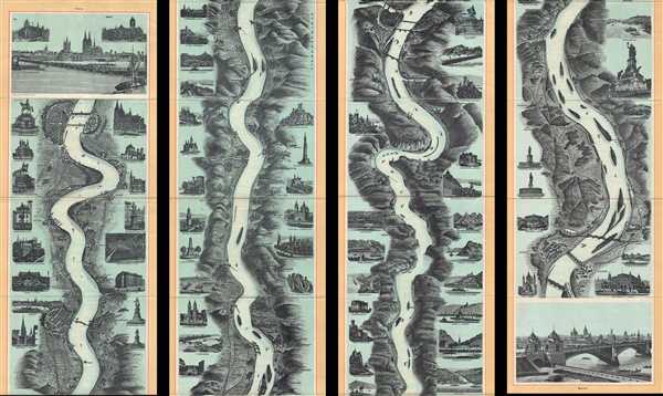

Copyright © 2024 Geographicus Rare Antique Maps | Geographicus Rare Antique Maps
This copy is copyright protected.
Copyright © 2024 Geographicus Rare Antique Maps