This copy is copyright protected.
Copyright © 2024 Geographicus Rare Antique Maps
1953 U.S. Air Force Aeronautical Chart or Map of Rio Jamachim, Para, Brazil
RioJamachim-usaf-1953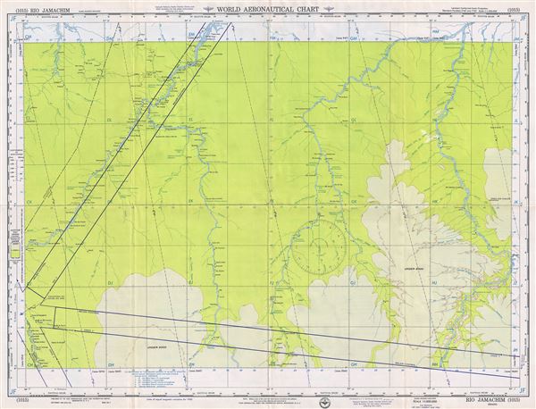

Copyright © 2024 Geographicus Rare Antique Maps | Geographicus Rare Antique Maps
This copy is copyright protected.
Copyright © 2024 Geographicus Rare Antique Maps