This copy is copyright protected.
Copyright © 2024 Geographicus Rare Antique Maps

Details
1915 Munsell Chase City Plan or Map of San Francisco, California
1915 (undated) $400.00
1930 Automobile Association Map of San Francisco
SanFrancisco-automobileassociation-1930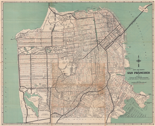

Copyright © 2024 Geographicus Rare Antique Maps | Geographicus Rare Antique Maps
This copy is copyright protected.
Copyright © 2024 Geographicus Rare Antique Maps