This copy is copyright protected.
Copyright © 2024 Geographicus Rare Antique Maps
1930 Bekins Map of San Francisco, California
SanFrancisco-bekins-1930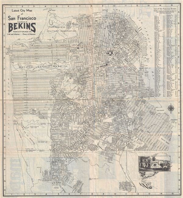

Copyright © 2024 Geographicus Rare Antique Maps | Geographicus Rare Antique Maps
This copy is copyright protected.
Copyright © 2024 Geographicus Rare Antique Maps