This copy is copyright protected.
Copyright © 2024 Geographicus Rare Antique Maps

Details
1854 / c. 1910 Le Breton View of San Francisco, California
1854 (undated) $1,200.00
1950s Gross Map or Plan of San Francisco, California
SanFrancisco-gross-1950s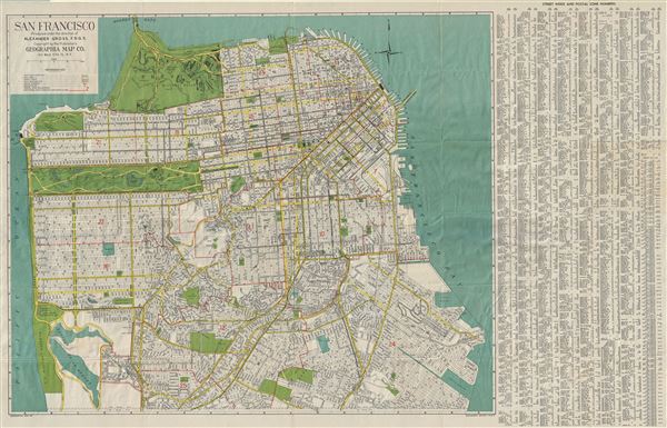

Copyright © 2024 Geographicus Rare Antique Maps | Geographicus Rare Antique Maps
This copy is copyright protected.
Copyright © 2024 Geographicus Rare Antique Maps