This item has been sold, but you can get on the Waitlist to be notified if another example becomes available, or purchase a digital scan.

1930s Rand McNally Map or Plan of San Francisco, California

SanFrancisco-mcnally-1930s
$125.00
Rand McNally Standard Map of San Francisco. - Main View
Processing...

1930s Rand McNally Map or Plan of San Francisco, California

SanFrancisco-mcnally-1930s


Title


Rand McNally Standard Map of San Francisco.
  1930s (undated)     19.5 x 26.5 in (49.53 x 67.31 cm)     1 : 26600

Description


This is a beautiful map of the city of San Francisco, California, issued by the Rand McNally and Company in c.1930. It covers the entire city from Fort Point and Presidio Park as far south as the Laguna de la Merced. The map is extremely detailed, showing individual buildings, major and minor streets, railroads, street car lines, parks, cemeteries, lakes, piers, reservoirs, military installations and several other important landmarks. An inset in the upper right quadrant details San Francisco and vicinity. Various topographic details are also included with elevation shown by hachure. Verso of the map contains a street index and points of interests. This map was issued as a vest pocket map by Rand McNally and Company.

Cartographer


404 Not Found

Server Error

404

Page Not Found

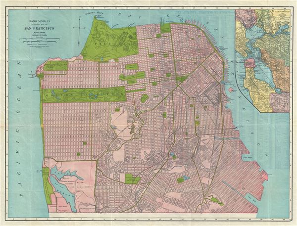
This page either doesn't exist, or it moved somewhere else.


That's what you can do

More by this mapmaker...

Condition


Very good. Minor wear along original fold lines. Points of Interest and street index on verso. Comes with original paper binder.