This copy is copyright protected.
Copyright © 2024 Geographicus Rare Antique Maps

Details
1936 McCaffrey Pictorial Map of Seattle, Washington
1936 (dated) $950.00
1950s Knoll Map or Plan of the City of Seattle, Washington
Seattle-knoll-1950s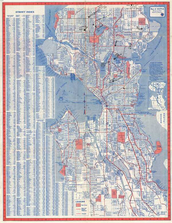

Copyright © 2024 Geographicus Rare Antique Maps | Geographicus Rare Antique Maps
This copy is copyright protected.
Copyright © 2024 Geographicus Rare Antique Maps