This copy is copyright protected.
Copyright © 2024 Geographicus Rare Antique Maps
1929 Hoelscher Pocket Map of St. Louis, Missouri (and suburbs)
StLouis-hoelscher-1929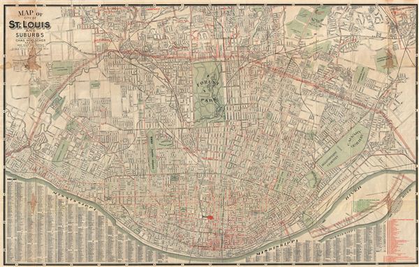

Copyright © 2024 Geographicus Rare Antique Maps | Geographicus Rare Antique Maps
This copy is copyright protected.
Copyright © 2024 Geographicus Rare Antique Maps