This copy is copyright protected.
Copyright © 2024 Geographicus Rare Antique Maps
1925 Map of Hong Kong Central District and Victoria Peak
VictoriaPeakHongKong-unknown-1925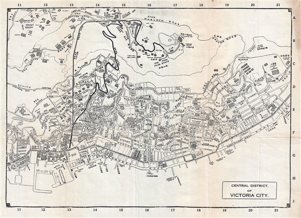

Copyright © 2024 Geographicus Rare Antique Maps | Geographicus Rare Antique Maps
This copy is copyright protected.
Copyright © 2024 Geographicus Rare Antique Maps