This copy is copyright protected.
Copyright © 2024 Geographicus Rare Antique Maps
1950 Friendly Service Plan or Map of Washington D. C.
WashingtonDC-friendlyservice-1950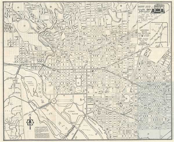

Copyright © 2024 Geographicus Rare Antique Maps | Geographicus Rare Antique Maps
This copy is copyright protected.
Copyright © 2024 Geographicus Rare Antique Maps