This copy is copyright protected.
Copyright © 2024 Geographicus Rare Antique Maps
1941 General Drafting Company Map of Washington D.C.
WashingtonDC-generaldrafting-1941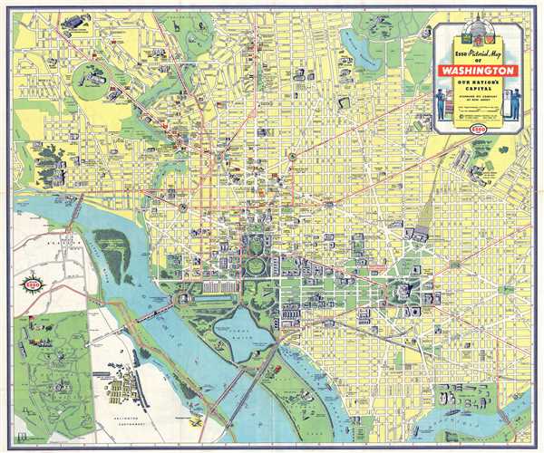

Copyright © 2024 Geographicus Rare Antique Maps | Geographicus Rare Antique Maps
This copy is copyright protected.
Copyright © 2024 Geographicus Rare Antique Maps