This copy is copyright protected.
Copyright © 2024 Geographicus Rare Antique Maps
1951 American Automobile Association Pictorial Map or Plan of Washington D. C.
WashintonDC-autoasso-1951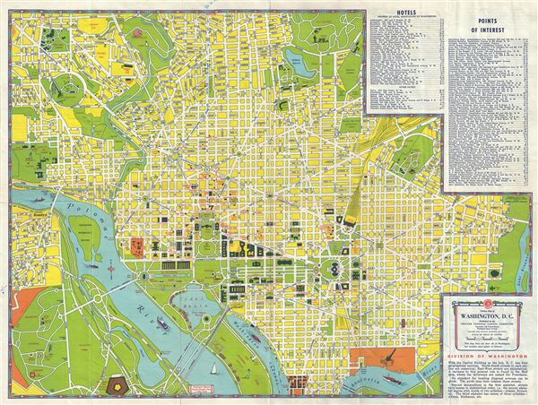

Copyright © 2024 Geographicus Rare Antique Maps | Geographicus Rare Antique Maps
This copy is copyright protected.
Copyright © 2024 Geographicus Rare Antique Maps