This copy is copyright protected.
Copyright © 2024 Geographicus Rare Antique Maps
1852 Blackwood Map of the World in Hemispheres
WorldHemispheres-blackwood-1852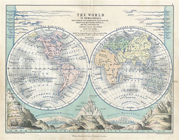

Blackwood and Sons (fl. 1804 - c. 1900) published out of Edinburgh and London throughout the 19th century - roughly from 1804 to 1898. The founder of the firm Scotsman William Blackwood (November 20, 1776 - September 16, 1834), was of humble origins, but his business acumen and dedication to the printing trade pushed his firm to prominence. He is most noted for publishing Blackwood's Scottish Magazine, one of the most important early magazines of 19th century England. In addition to his career as a prominent publisher, Blackwood took an active interest in civic matters and was elected Commissioner of Police in 1828. Following his death the firm was taken over by his sons, Alexander, John, and Robert Blackwood, who changed the imprint to "Blackwood and Sons". The firm was subsequently passed down through the heirs, most of the Blackwood name, until the late 19th century. More by this mapmaker...
Alexander Keith Johnston (December 28, 1804 - July 9, 1871) was a Scottish cartographer and map publisher active in the middle portion of the 19th century. Johnson was born at Kirkhill, near Edinburgh, Scotland. He studied at the University of Edinburgh where he apprenticed as an engraver. Around 1826, in partnership with his brother William, he founded a cartographic printing and engraving firm with the imprint "W. and A. K. Johnston." Johnston made a name for himself in educational geography, publishing numerous maps for use in schools. His brother, William Johnston, eventually left the firm to pursue a career in politics, eventually becoming the Lord Provost of Edinburgh. Alexander's son, who would bear the same name, became a geographer and explorer, suffering an untimely death on the Royal Geographical Society's 1879 expedition to Lake Nyasa. Learn More...
Copyright © 2024 Geographicus Rare Antique Maps | Geographicus Rare Antique Maps
This copy is copyright protected.
Copyright © 2024 Geographicus Rare Antique Maps