This copy is copyright protected.
Copyright © 2024 Geographicus Rare Antique Maps
1891 Geological Survey Map of the Yukon Expedition in Canada and Alaska
YukonExpedition-geosurvey-1891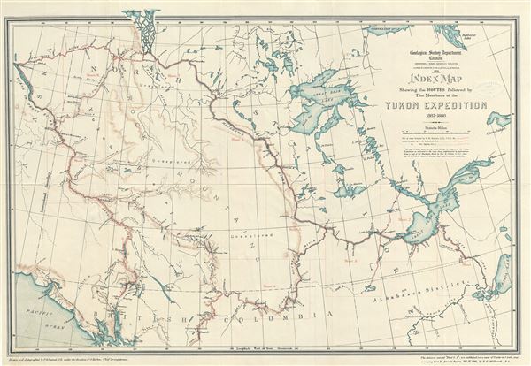

Copyright © 2024 Geographicus Rare Antique Maps | Geographicus Rare Antique Maps
This copy is copyright protected.
Copyright © 2024 Geographicus Rare Antique Maps