This copy is copyright protected.
Copyright © 2024 Geographicus Rare Antique Maps
1940s Pictorial Pocket Map or Plan of the City of Venice, Italy
venezia-uildm-1940s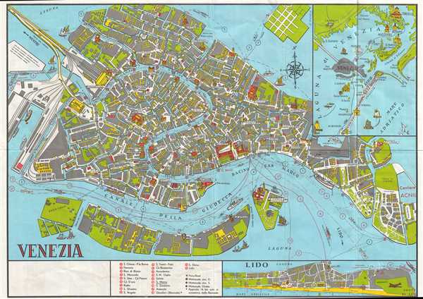

Copyright © 2024 Geographicus Rare Antique Maps | Geographicus Rare Antique Maps
This copy is copyright protected.
Copyright © 2024 Geographicus Rare Antique Maps