This item has been sold, but you can get on the Waitlist to be notified if another example becomes available, or purchase a digital scan.

1859 Smith Folding Case Map of Italy and Switzerland

Italy-smith-1859
$437.50
Map of Italy and Switzerland Particularly distinguishing the Different Travelling Roads and the Post Stations; with the number of posts between each Station.  Compiled from the most recent Authorities. - Main View
Processing...

1859 Smith Folding Case Map of Italy and Switzerland

Italy-smith-1859


Title


Map of Italy and Switzerland Particularly distinguishing the Different Travelling Roads and the Post Stations; with the number of posts between each Station. Compiled from the most recent Authorities.
  1859     33 x 33.5 in (83.82 x 85.09 cm)

Description


A rare and beautiful case format map of Italy and Switzerland from 1859. Produced by London cartographer Charles Smith. Covers from Geneva in the west as far east as Turkey and Dalmatia, north to Vienna, and south to include Sicily. Also includes Sardinia and Corsica. This map was originally issued by Smith in 1818 as a 'New Post Map of Italy and Switzerland.' Smith intended the map for 19th century English travelers to Italy and so gives particular attention to distances, roads, and the quality of those roads. Offers basic but attractive topographic details. Sicily is depicted as an inset map at the bottom center. Dissected and mounted on linen in 24 sheets. Folds into its original cardboard binder.

Cartographer


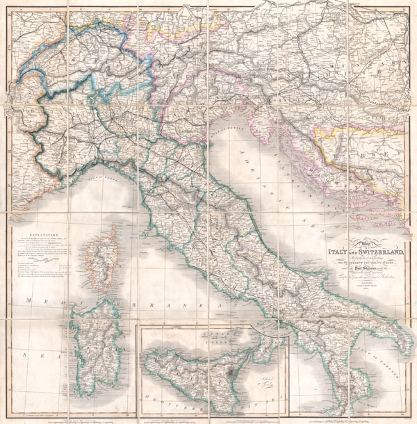
Charles Smith (1768 - 1854) was 19th century British publisher of maps, atlases, and charts, most of which focused on England and London. Smith was appointed map seller to the Prince of Wales in 1809. His early work stylistically resembles the work of Pinkerton, Cary, and Thomson, though on a much smaller scale. From 1826 to 1854 the business traded as Charles Smith and Son. After Charles Smith's death in 1852 the it was taken over by his son William Smith, and later his grandson Guildford Smith (1838 - 1917), who continued to publish maps well into the 20th century. The younger Smith is best known for his introduction of the 'Tape Indicator Map'. This map, which came with a tape measure, enabled users to triangulate their location based coordinates given in an attached guide. The firm was taken over by George Philip in 1916. More by this mapmaker...

Condition


Fine or perfect condition. Dissected and mounted on linen in 24 sheets. Original linen in fine condition. Folds into its original cardboard case. Case in good condition with some minor wear on the edges and title area.

References


Shapero, The Folding World (January, 2003), item 178.