This copy is copyright protected.
Copyright © 2024 Geographicus Rare Antique Maps
1887 Tunison Map of Vermont and New Hampshire
VermontNewHampshire-tunison-1887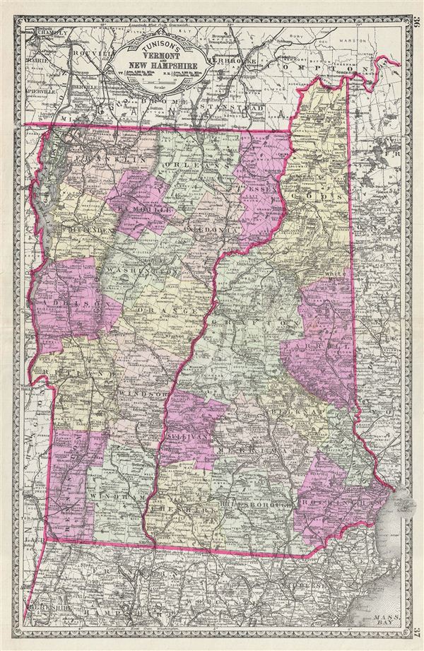

Henry Tunison (fl. c. 1886 – 1909) was a late 19th century American map publisher and businessman based in Illinois. Tunison published the Peerless Universal Atlas in various editions from 1886 to 1909. Unlike his competitors, the Rand McNally Company and George F. Cram, who printed low quality atlases using printed color, Tunison utilized old world publishing techniques and distinctively vivid hand color to drive the sales of his popular atlas. Because of this, Tunison’s maps, though late of period, remain desirable among collectors. Little is certain regarding Tunison’s early life; however, it may be one Henry Tunison whose family immigrated to Illinois from New Jersey in 1838. More by this mapmaker...
Copyright © 2024 Geographicus Rare Antique Maps | Geographicus Rare Antique Maps
This copy is copyright protected.
Copyright © 2024 Geographicus Rare Antique Maps