This copy is copyright protected.
Copyright © 2024 Geographicus Rare Antique Maps
1888 Petit Map of the City of Montevideo, Uruguay
Montevideo-petit-1888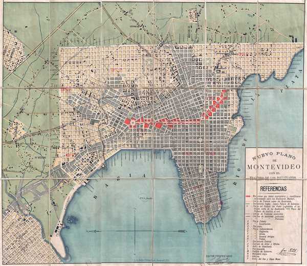

Copyright © 2024 Geographicus Rare Antique Maps | Geographicus Rare Antique Maps
This copy is copyright protected.
Copyright © 2024 Geographicus Rare Antique Maps