This copy is copyright protected.
Copyright © 2024 Geographicus Rare Antique Maps
1932 Pacific Gas and Electric Bird's-Eye View Map of San Francisco, California
SanFrancisco2-pacificgaselectric-1932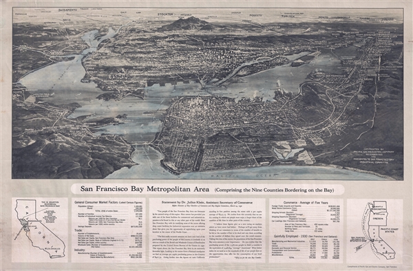

Copyright © 2024 Geographicus Rare Antique Maps | Geographicus Rare Antique Maps
This copy is copyright protected.
Copyright © 2024 Geographicus Rare Antique Maps