This copy is copyright protected.
Copyright © 2024 Geographicus Rare Antique Maps
1937 Chamber of Commerce Pictorial Map of Bermuda
BermudaStGeorge-chamber-1937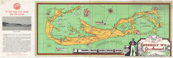

Copyright © 2024 Geographicus Rare Antique Maps | Geographicus Rare Antique Maps
This copy is copyright protected.
Copyright © 2024 Geographicus Rare Antique Maps