This copy is copyright protected.
Copyright © 2024 Geographicus Rare Antique Maps
1836 Manuscript Map of Commodore Berry Park, near Navy Yard, Brooklyn, New York
BrooklynNavyStreetSurvey-tolford-1836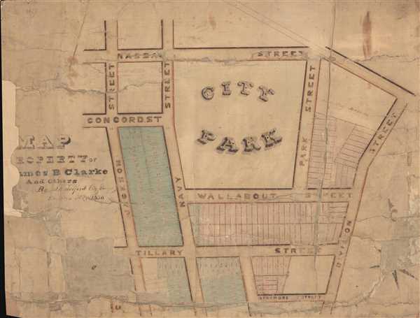

Copyright © 2024 Geographicus Rare Antique Maps | Geographicus Rare Antique Maps
This copy is copyright protected.
Copyright © 2024 Geographicus Rare Antique Maps